Effective since October 1, 2023, C3 Water Inc. (“C3 Water”), joined CIMA+, one of Canada’s largest privately-owned consulting engineering firms. By adding C3 Water to the team, CIMA+ is expanding its portfolio with additional expertise in water modelling platforms, which includes the development of digital twins for water systems.
Learn more about CIMA+’s infrastructure services
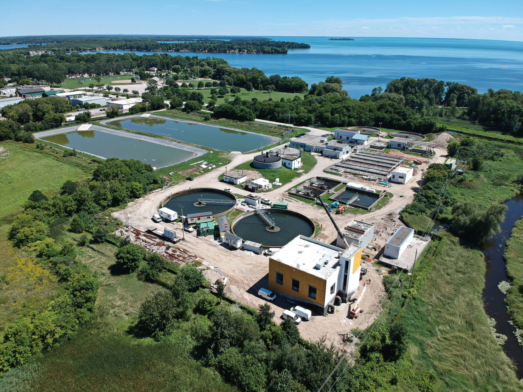
CIMA+ provides a variety of consulting engineering services, namely in the areas of buildings, infrastructure, transportation, energy and resources, project management, communication systems, and the environment.
Our engineers combine top-notch skills with an intimate understanding of the local community to deliver customized infrastructure services for municipalities and real-estate developers. We have delivered hundreds of projects across Canada, including innovative solutions for the full spectrum of water and wastewater assets, on time and on budget.